Storm could dump 1 to 2 inches of snow an hour over Maine
By Christopher Burns, Bangor Daily News Staff
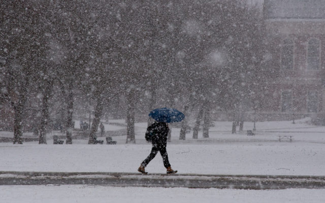
The weekend storm barrelling down on Maine on Saturday morning could dump as much as 1 to 2 inches of snow an hour.
The National Weather Service has issued a blizzard warning for the entire coast as well as interior eastern Maine up to Bangor and as far north as Houlton. The rest of the interior state has been placed under winter storm warning and winter weather advisory through 7 a.m. Sunday.
The storm was forecast to start around daybreak along the Down East coast, with snowfall starting mid-morning over Bangor and by 3 p.m. up in far northern Maine.
Heaviest snowfall is expected to hit in the afternoon, when as much as 1 to 2 inches an hour may fall across the hardest hit parts of the state. That light, fluffy snow will be accompanied by strong winds blowing at a sustained 16 mph but gusting as high as 45 to 55 mph. The wind will drive temperatures as low as minus 20 degrees Fahrenheit, which can cause exposed skin to succumb to frostbite in under 30 minutes, according to a weather service advisory.
The expected blizzard conditions have prompted closures across the state and state officials to advise Mainers to stay indoors. The combination of snow and high winds may create whiteout conditions and severely restrict visibility.
“Travel will be very difficult to impossible during the peak of the storm. Please stay off the roads. If you must travel, pack a winter survival kit,” the weather service said Saturday morning.
Current projections show up to 18 to 24 inches of snow are on tap for the Down East coast from Bar Harbor to Eastport, and inland to Greater Bangor, according to the weather service office in Caribou.
Farther inland, 12 to 18 inches of snow are forecast for much of central Maine, including Skowhegan, Dover-Foxcroft, Millinocket and Lincoln, as well as Houlton. Moving toward the crown of Maine, that accumulation lessens to 8 to 12 inches in Presque Isle, Caribou and Van Buren, and 4 to 6 inches in Fort Kent.
The southern coast is expected to get 12 to 18 inches from Portland up to Rockland, according to the weather service office in Gray.
Moving up to the western mountains, the expected snowfall drops off to 4 to 6 inches from Rangeley to Jackman on the Canadian border.