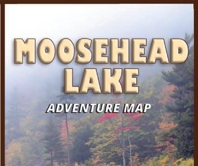
New map of Moosehead Lake
A beautiful and detailed map of Maine’s largest lake is now available at local stores. It is published by Franko Maps Ltd., whose president, Eric Riback, was a longtime sales manager for DeLorme.
“I started working for DeLorme in 1980, and my first sales trip was up the Moosehead Trail to Greenville, Rockwood, and Kokadjo to distribute their Moosehead map which had recently been published,” said Riback. “That map is long out of print, and I felt the area deserved to have a new one.”
The new map features dramatic shaded relief. It shows highways, main roads, minor roads, unimproved roads and trails, town and place names. The map locates gates, ranger stations, boat ramps, state parks, reserves, campsites, fishing hot spots, hiking trails and more. Coverage includes Seboomook, Ragged and Brassua Lakes, Indian and Wilson Ponds. The large scale is approximately 1:40,000 or 1 inch = .6 miles.
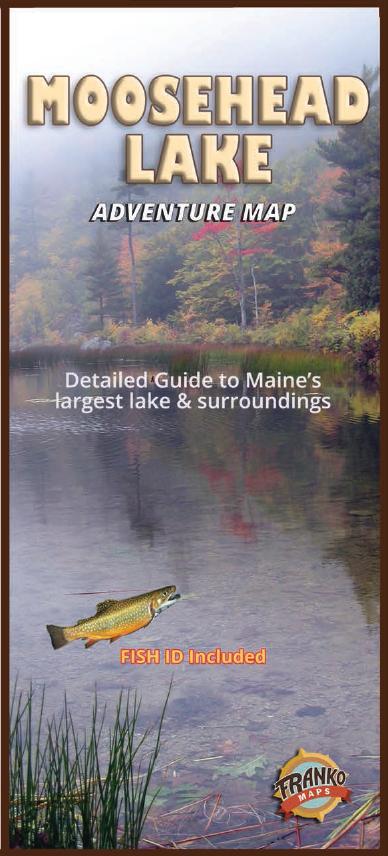
Side two offers Moosehead fish and wildlife identification guides, history and vintage photos. The map is 18.5 by 26 inches, folded to 4 by 9 inches. A rolled, laminated edition is also available.
The map is sold at these stores: Northwoods Outfitters, Greenville; Indian Hill Trading Post, Greenville; Rockwood Convenience Store; Moosehead Bait & Tackle, Rockwood; Monson General Store; Moody’s Diner Gift Shop, Waldoboro; and Chase Leavitt, Portland.
The map is available online on Amazon, eBay, and frankomaps.com. For more information, contact eric@frankomaps.com or 845-758-3545.