Why 4 Maine rivers flow north instead of toward the ocean
By Susan Bard, Bangor Daily News Outdoors Editor
Most Maine rivers eventually carry water toward the Atlantic Ocean. But four major rivers in northern Maine flow north: the Upper St. John, Allagash, Fish and Aroostook.
All four are part of the St. John River basin, which drains into New Brunswick and eventually the Bay of Fundy.
So why do they flow north?
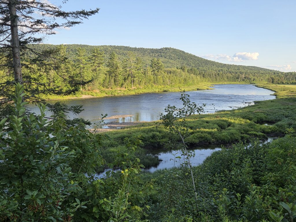
ALLAGASH RIVER — The Allagash River flows north for about 62 miles before joining the St. John River.
Because rivers flow downhill. In northern Maine, the land slopes toward the St. John River basin rather than toward Maine’s major south-flowing rivers.
A drainage divide separates the two. Water falling on the northern side flows toward the St. John, while water falling on the other side can flow toward rivers such as the Penobscot and Kennebec and eventually the Atlantic.
The Allagash is a good example.
From Churchill Dam in northern Piscataquis County, it flows about 62 miles north before joining the St. John River, dropping more than 300 feet along the way.
The landscape that determines the river’s course was shaped in part by glaciers during the Ice Age. Massive ice sheets reshaped Maine’s mountains and valleys and altered existing drainage patterns, helping create the landscape through which the rivers flow today.
The Upper St. John begins in Somerset County and eventually forms part of the Maine-New Brunswick boundary. The Fish River’s chain of lakes and connecting waterways drains toward the St. John near Fort Kent. The Aroostook River flows through northern Maine before crossing into New Brunswick and joining the St. John.