New state projects will help Mainers find and safeguard access to outdoor recreation
By Amanda Beal
Maine is synonymous with outdoor recreation. But there was a time when access to the outdoors was taken for granted — as the world sped up and development expanded, cities grew. Our rural communities shrunk, and the remaining populations faced more challenges. And all around us, fields, trails, and waterfronts were increasingly inaccessible.
Sadly, it reads like the same old story. But this is Maine, and with passionate leadership at the local, state, and federal levels, access to the outdoors is on the front burner through the Land and Water Conservation Fund (LWCF), which expands our opportunities to conserve land and is an important source of matching funds for our state’s Land for Maine’s Future program.
No matter where you live, there’s a good chance the LWCF has shaped your Maine outdoor recreation experience – 870 fund-assisted outdoor recreation projects are safeguarded for everyone to enjoy perpetually. Since 1964, royalties paid by companies drilling for oil and gas on the Outer Continental Shelf have been dedicated to LWCF. These funds protect national parks, forests, and wildlife refuges and provide grants for state and local parks and outdoor recreation projects. LWCF is one of our finest tools to protect access to public lands for recreation while investing in natural resources and supporting businesses.
Something great related to LWCF in Maine recently happened. Decades and stacks of paper records that inventoried the program’s impact on the state were converted to digital documents. This effort has resulted in a dynamic new tool, the Outdoor Recreation Investments Map, found on the Bureau of Parks and Lands (BPL) website.
One visit to the site and the full scope of the LWCF will quickly sink in. Also, this unique resource is a useful planning tool for identifying future excursions to cherished destinations around the state.
Maine’s newly created LWCF Outdoor Recreation Investments Map is a product of teamwork. The map was created in collaboration with the Maine Outdoor Heritage Fund, Maine Office of Outdoor Recreation, Maine Recreation and Parks Association, Maine Department of Transportation, Appalachian Mountain Club, The Nature Conservancy, and the Maine Department of Agriculture, Conservation and Forestry’s Bureau of Parks and Lands. To avoid accumulating future stacks of paper LWCF inventories, thanks to the recently enacted state budget, a new staff position is supporting updating the map, maintenance and improvements, and other important and ongoing tasks.
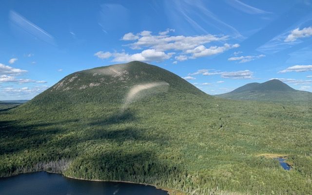
Screw Augur Falls in Grafton Notch State Park, Lubec’s Town Landing, the ATV trails through the Androscoggin Riverlands, Big Spencer Mountain, and hundreds of other treasured Maine places have received LWCF grants. So have closer-to-home ballparks, hiking trails, and recreation facilities, from soccer fields at York’s Emery Park to Dionne Park playground in Madawaska, from walkways at Bangor’s Kenduskeag Stream to a fully accessible trail in Acton. They’re all easily found on the map.
Over the past six decades, the LWCF has held a pivotal position in ensuring outdoor recreation resources will be here for future generations. Please take the time to explore all that the LWCF has accomplished by visiting the BPL website. And remember to look for ways to add your voice to the call for more funding for LWCF. Be part of the process of protecting outdoor recreation in Maine and beyond.
Beal is the commissioner of the Maine Department of Agriculture, Conservation and Forestry.