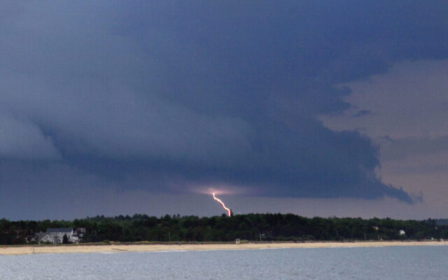
Severe thunderstorm watch issued for most of Maine
By Leela Stockley, Bangor Daily News Staff
Scattered thunderstorms are expected to move across Maine this afternoon and evening with the potential for damaging winds, downpours and hail, according to forecasters with the National Weather Service.
Severe storms are expected throughout Androscoggin, Aroostook, Cumberland, Franklin, Kennebec, Knox, Lincoln, Oxford, Penobscot, Piscataquis, Sagadahoc, Somerset, Waldo and York counties and a severe thunderstorm watch is in effect until 8 p.m.
Hancock and Washington counties could see isolated, scattered thunderstorms on Thursday evening.
Quarter-sized hail could hit parts of Aroostook County, as well as areas of Franklin and Oxford counties, according to forecasters with the NWS Caribou office. Scattered bursts of high wind could move through the state, with gusts of up to 60 miles per hour in some areas.
A severe weather statement is in effect in northern Franklin and Oxford counties, where wind gusts could reach up to 60 mph accompanied by ping pong ball-sized hail as a storm moves from eastern New Hampshire into western Maine at around 40 mph, according to forecasters with the NWS Gray office.
The Portland region could see quarter-sized hail and wind gusts reaching up to 60 mph.
Thunderstorms are expected to turn to partly cloudy skies overnight, with areas of patchy fog across the state on Friday morning.