Warm weather this January has shattered records in Maine
By Aislinn Sarnacki, Bangor Daily News Staff
Maine has started off 2021 with unseasonably warm weather that’s broken multiple records statewide. Above-freezing temperatures and sunny days have melted snow and ice, causing muddy driveways and open water on lakes and ponds that are usually frozen this time of year.
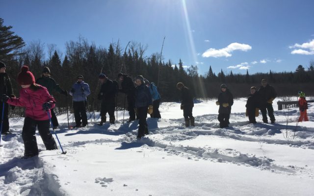
For winter recreationists, this has meant little safe ice for activities such as ice fishing and ice skating, and not enough snow in some areas of the state for snowshoeing and skiing. For winter hikers, lowland trails that normally would have been hard packed have been soft and muddy in recent weeks.
This delay of many winter outdoor activities has been frustrating for many Maine residents, but this week, colder weather has crept in, promising ice and a firm ground for snowsports. Still, recreationists need to practice caution, especially when venturing out on the ice. It takes more than a couple of days for safe ice to form on lakes and ponds. An ice skater fell through the ice of Thompson Lake in Oxford, on Jan. 20, and was rescued by local fire departments.
“Even though temperatures have been colder recently, ice conditions on this lake and others in the area remain very inconsistent and dangerous,” said Maine Game Warden Harry Wiegman, who was part of the rescue crew.
Though temperatures have dropped this week, meteorologists predict the winter will continue to be warmer than usual in Maine. It has already broken multiple high temperature records.
In southern Maine, Portland is on track to experience the warmest January on record, according to Tom Hawley, meteorologist at the National Weather Service office in Gray.
“It has been a very warm January,” Hawley said. “Yes, very warm.”
The Portland NWS station had recorded 31.4 degrees Fahrenheit as the average temperature for the month as of Jan. 20. The previous record high average temperature through that day in the month was 30.4 degrees in 2002.
Meanwhile, in northern Maine, the National Weather Service station in Caribou broke a record for the latest in the month (and year) they’d gone without seeing a temperature of zero or colder.
This year, the station’s thermometer first reached zero, and continued to dip, reaching -3 degrees Fahrenheit, in the early morning of Jan. 20. Prior to that, the latest the station had gone into the month (and year) before seeing zero was Jan. 17 in 2011.
But colder weather is on the way.
“We were kind of in a blocking pattern earlier in the month, and that kept us warmer than average,” said Tim Duda, a meteorologist at the NWS office in Caribou. “Now the jet stream is allowing for cooler air to come across the northern half of New England. For the rest of the week and into the weekend, we’ll be right around normal [in temperature] for this time of year.”
A typical daytime high temperature for Maine this time of year is below freezing (32 degrees), Duda said. Northern Maine is generally colder, with high temperatures often in the high teens or low 20s, while coastal and southern Maine are often warmer, with temperatures in the mid to high 20s.
The recent warmer-than-usual weather isn’t secluded to January. December 2020 ranks as Maine’s fifth warmest December since 1895, according to data from the National Oceanic and Atmospheric Administration. Instead of a White Christmas, the state was swept with a rain and wind storm, with temperatures climbing into the 60s in some parts of the state.
These warmer-than-usual temperatures match the long term trend of increasing temperatures in Maine and globally due to climate change.
“With the warming climate, we do expect to see more warm winters compared to what we’ve seen 30 years ago,” said Maine State Climatologist Sean Birkel. “There can still be a cold winter that might emerge one year, but if we look at the longerm historic temperature record in Maine that goes back to the late 1800s, we see that particularly since the late 1990s, Maine’s winters have become very warm in comparison to the winters of 1960s or 70s.”
Looking back even further, to the 1800s and early 1900s, there are records of winters so cold that portions of the Penobscot Bay froze over.
“The coldest winters of the early 1900s and the 1800s were nothing like what we experience today,” Birkel said.
However, there have been some particularly cold months in recent years, frigid periods of time that have fueled debate about whether or not there is a warming trend in Maine. February 2015 was the coldest February since 1934.
“If that one month really stands out in your mind, that may give you the perception that there can still be cold winters,” Birkel said. “But if you look at the long term trends, if you look at the changing winter temperatures over time, over more than a century, you see a clear warming trend.”
Nowadays, it’s not uncommon for Maine to experience rainfall in the middle of the winter, especially in the southern reaches of the state, Birkel said. While 30 years ago, rain was a rare winter occurrence.
To date, the winter of 2015 to 2016 is Maine’s warmest on record statewide.
“The length of winter is shrinking as well, in terms of cold temperatures,” Birkel said. “So that has an impact on things like lake ice.”
Looking to the near future, February is predicted to be warmer than normal in Maine as well, based on NOAA’s 1-month temperature outlook map for the country.